


9,4 km | 12 km-effort

Tous les sentiers balisés d’Europe GUIDE+


Aplicación GPS de excursión GRATIS
 SityTrail
IGN / Institutos geográficos
SityTrail World
El mundo es suyo
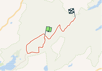
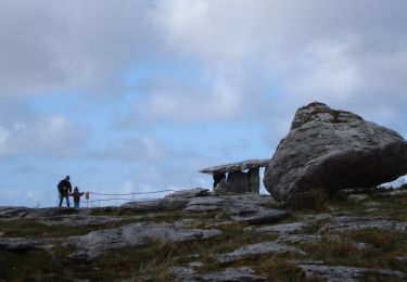
Ruta A pie de 4,8 km a descubrir en Desconocido, County Clare, West Clare Municipal District. Esta ruta ha sido propuesta por SityTrail - itinéraires balisés pédestres.
Ruta creada por Burren National Park.
Símbolo: red dot


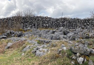
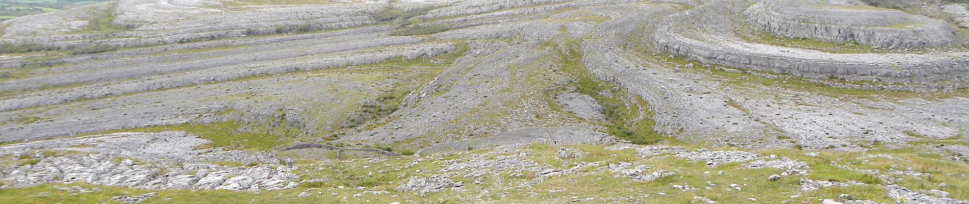
Senderismo

Senderismo
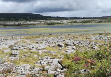
Senderismo
Senderismo

Coche
A pie